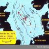


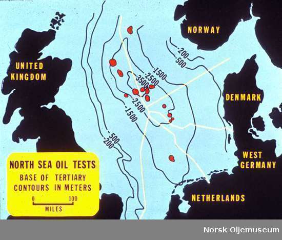
Geological diagram - North Sea Oil test map. Base of tertiary contours in meters.
On this page we provide metadata using the Dublin Core metadata format. The metadata is derived in most cases from metadata found in the source collection; in some cases we have added additional information where it was not available.