
Grossraumwirtschaft: waterways in Nazi Europe
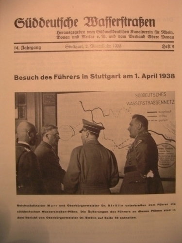
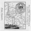
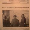
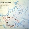
In May 1938, Adolf Hitler visited the city of Stuttgart. Local authorities there presented him with a plan to develop a Southern German waterway network with a link between the Danube, Main, and Rhine rivers as its crucial component.
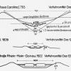
Just after Austria's Anschluss to Germany, the elites of the Third Reich naturally welcomed the idea of binding together the two territories. In the following years, as Nazi Germany's territories – and ambitions – expanded, the plans for the network expanded accordingly: from Germany to Central Europe (in German: Mitteleuropa) and finally to all of Europe (1942). Simultaneously, the Third Reich also pushed for centralization in the governance and development of waterways.
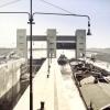
Fritz Todt, appointed as Inspector General for Water and Energy, launched a standardization program for the waterways. The Nazi engineer pursued the construction of transcontinental waterways in order to bypass the seas controlled by the Allies. The Nazis tried to create high-capacity standards for the network, which often collided with the natural features of some waterways, such as limited water resources.
The Nazi Minister for Economic Affairs, Walther Funk, went on to propose a pan-European network in 1942 as part of an European economic integration program. This would operate on an international basis with Germany at its command center and replace the transnational system that had been introduced by the Versailles Treaty of 1919.
How to cite this page
Jiří Janáč, 'Grossraumwirtschaft: waterways in Nazi Europe', Inventing Europe, http://www.inventingeurope.eu/governance/grossraumwirtschaft-waterways-in-nazi-europe
Sources
- Jiří Janáč, European Coasts of Bohemia. Negotiating the Danube-Oder-Elbe Canal in a Troubled Twentieth Century. Amsterdam: Amsterdam University Press, 2012.